Devil's Punchbowl Hike
|
Click here to see the pictures from our hike. |
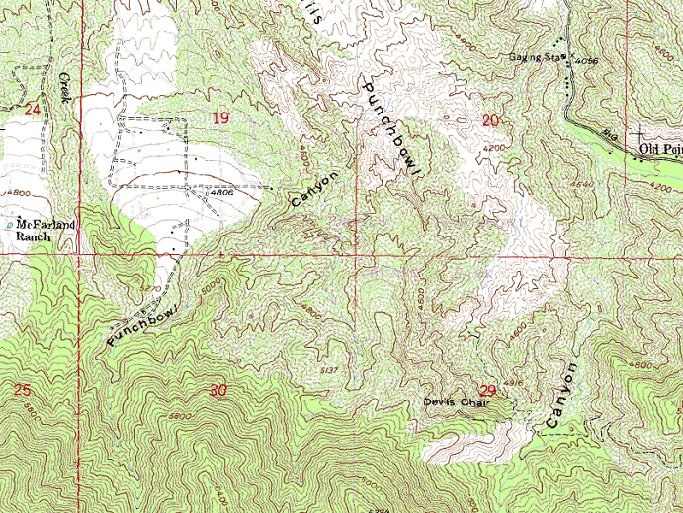
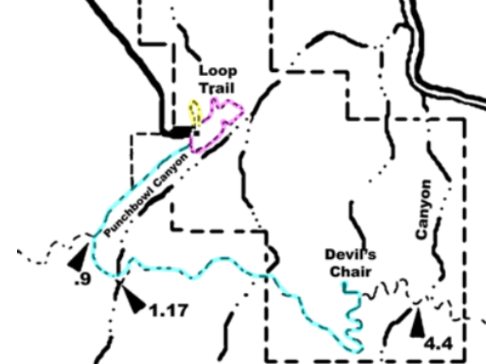
MapBefore we hiked, the beginning of the trail was hard to find, either by topo map or by satellite. Here is an attempt to match a topo map with a trail map taken from the Devil's Punchbowl website.   Here the trail on Gmaps Pedometer. The trail leaves the SE corner of the Devil's Punchbowl parking lot. It travels for a little over a mile before it meets the Devil's backbone trail. From there it is two miles to Devil's Chair, accoring to the trail junction sign. It begins at an elevation of 4760ft, climbs almost to it's high point of 5300ft in the first mile. After that the trail winds around and through small hills and valleys with minor up and down climbs. Finally, in the last half mile, it drops sharply down about 300ft to Devil's Chair. |
Here is the map from TopoZone.
Here is a link to Yahoo Maps.